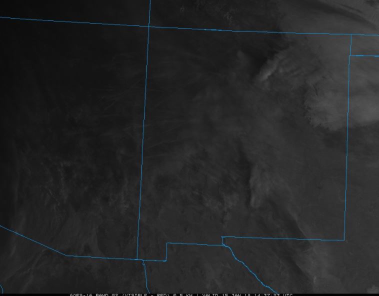
This week’s Satellite Image of the Week was taken a few days ago. The clouds on this image are not particularly striking, and, in the early morning hours, are not well lit. However, if you look closely, you’ll see a bunch of straight lines all over western New Mexico. These are jet contrails that are showing up on the visible satellite imagery!
Conditions have to be perfect to generate these images. If there is too little moisture, they won’t show up at all- they will quickly evaporate. If there is too much moisture, they can fade into the background of the clouds that will form. If there is too much wind, they will mix out and blur. If there is too little wind, they will be too thin and not show up in the satellite imagery at all.
These really get you thinking about satellite resolution. These images were taken on the new GOES-16, which has 1 km resolution. This means each 1 km by 1 km square is represented by a single color value. For a contrail to show up on this image, there has to be just the right amount of diffusing winds and sun reflecting from it to cause an entire 1 km by 1 km pixel to show up lighter.

Thank you for reading this post!
Source: College of DuPage – Meteorology
Advertisements Share this:


