Some headline, huh?
We here at Cranberry County Magazine hope that you have been enjoying the frozen-Jack-Torrance climate we’ve been having lately. Those seventy degree November days seem like a dream now, eh? It’s colder than an ex-wife’s kiss.
Well, people tell me that it is always darkest before the dawn, but that matters very little when it’s 4 degrees and your pipes just froze. It also is an empty comfort when, in a couple of dawns, we run a good chance of having a vicious snowstorm fall on us.
We may have to use to B(lizzard) word at some point, as the ingredients are there with the right storm track.
Snowfall estimates vary wildly. Yesterday, they were at 8-10 inches for Buzzards Bay, where this is being written. Today, it’s more 3-4″. Given this downward trend, we might get to zero by Thursday, but I wouldn’t count on that.
A large storm will form offshore, undergo bombogenesis… and where it heads then is anyone’s guess. A close track brings a mammoth storm, while a track trending offshore favors lower precipitation. It is said to be arriving here on Thursday. Please note that you never hear the term “bombogenesis” used for sunny days.
The storm is also arriving on the heels of this Siberian weather we’ve been stuck in. People are sure going to be happy if a big nor’easter blows the power out for 3 days of two-above-zero temperatures. There is a chance of that, because this storm may have gale-force winds, and those interact poorly with snow-laden tree branches.
If that’s not enough to wreck your day, look up (Editor’s note: Stephen wrote this at midnight, and sometimes forgets that we publish our stories in the morning) at that moon. That’s the Supermoon, a term used when our moon makes her closest approach to Earth, her perigee syzygy. You may need a blank to spell that in Scrabble.
The Supermoon has a coastline-unfriendly effect on the tides, and those tides also get worked up by the storm winds. Duxbury Beach, for example, has a 12 foot tide on Thursday. That, with storm surf added, could be bad news for anyone on the coast or 100 yards inland.
The saving grace is that northeast winds should shift and start coming at us from the north. This limits coastal flooding for everywhere but Sandwich/Barnstable/Dennis. Storm track is everything here
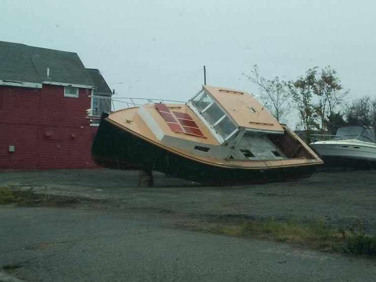
People who enjoy storm photography may want to head to the coast, because ocean spray freezes on houses and it looks really cool. Waves breaking on houses also looks cool, but you can get a soaking for those shots, shutterbug.
Again, storm track is everything, and we could even get a bit of rain out of this. However, even in that scenario, we’d stand a strong chance of a turnover to snow as the storm pulls off the coast. Bitter subzero cold follows the storm.
As of now, the estimates for the heaviest snow are for SE Massachusetts and Cape Cod.
Local Weather Forecaster Estimates, as of the 11 PM news on Monday:
WBZ has a 3-6″/4′-8″ ceiling and floor for our coverage area, and they were the only forecasters I saw dropping the B word.
WCVB has 3-6″, and Mike Wankum says that totals may be inflated by cold-weather fluffy snow.
WHDH also notes that fluffy snow will lead to higher-than-forecast totals, but note that most models are saying 3-7″.
FOX refused to guess. Shiri Spear will straighten that ship out in the AM.
NECN has 3’6″.
Accuweather has 2.8″ for Bourne, 2.5″ for New Bedford, 3.3 for Eastham and 2.9″ for Nantucket.
Be sure to check the forecast constantly, as a wobble in the track could mean tranquility or a weekend without power.
Share this:
