“If one pine were placed in a town square, what admiration it would excite! Yet who is conscious of the pine-tree multitudes in the free woods, though open to everybody?”
– John Muir, 1938
I have spent many years hiking the hills of the great Sierran batholith. I pride myself in thinking I have bagged most (if not all) day hikes from Kings Canyon National Park northward to Yosemite National Park, however this is likely only in my mind. I have also spent many years backpacking in the various parks and wildernesses of the region. But because of my studies in grad school over the last few years, I have let my backpacking hobby fall through the cracks. Before the titular trip I’m about to talk about, my most recent trip (way back in 2012) was quite the excursion – spending nine days near Rancheria Mountain in northern Yosemite National Park. I needed to go again.
Hearing the mountains calling after four years of no backpacking and scouring the internet for inspiration led me to this Lake Ediza trip. I assembled what is widely considered the greatest group of packers ever – my friends Laura, Emily (Millz), Daralyn (Dur), and Gatsby (the Gatz, Gaterbee, the Gaterang, Gatzbro). Gatz is the pup. Dur and I did our geology undergrad together at CSU Fresno. We have spent a lot of field time together and she is a trusty companion who’s down for anything. She’s also an experienced packer and as smart as they come. I met Laura and the MIllz in grad school at UC Davis. Millz is my best friend and Laura is the biggest sweetheart ever. They had both come from geology undergrads and were well acquainted with camping. However, this was to be Laura and Millz’ first ‘real’ trip into the outdoors.
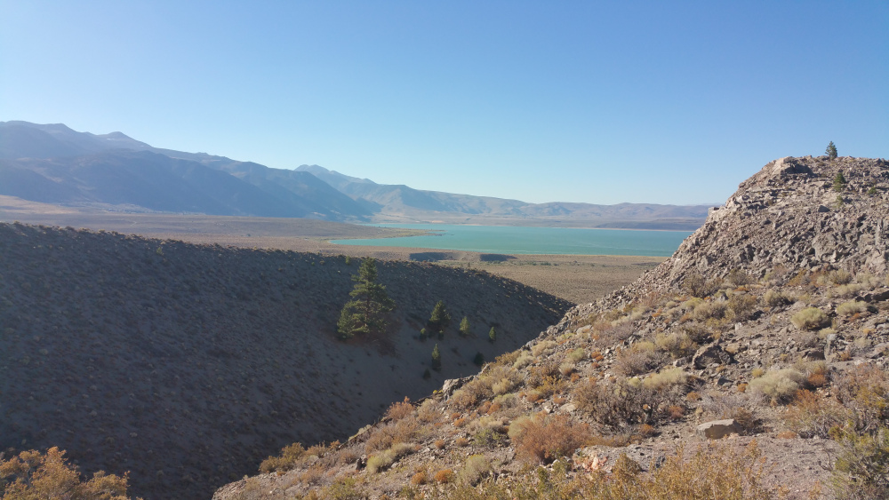
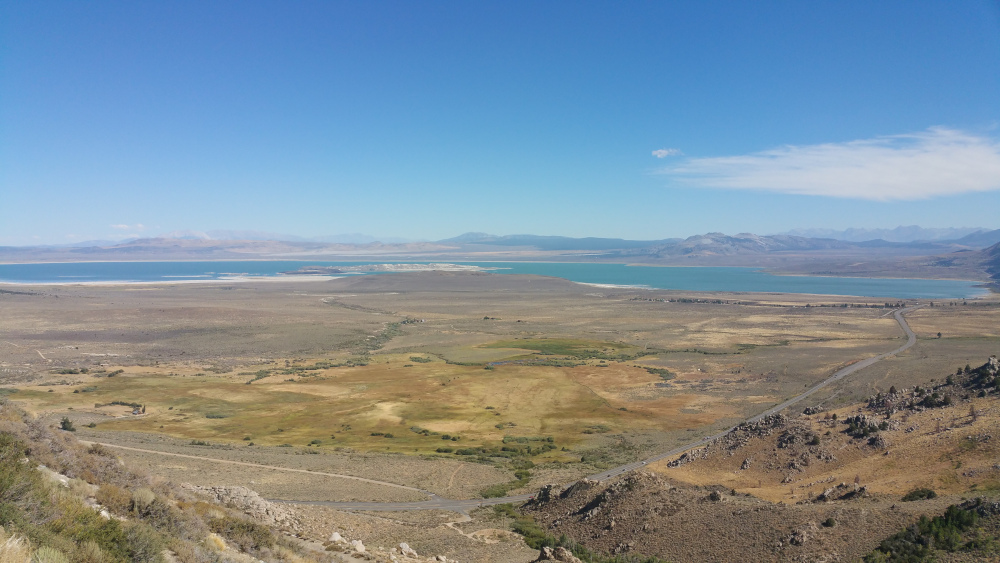 Looking southward across Mono Lake from Mono Lake Vista Point along US 395.
Day 1: Pregame
Looking southward across Mono Lake from Mono Lake Vista Point along US 395.
Day 1: Pregame
We began our trip lightly. Dur met Millz, Laura, and me at the House of Millz, Dom and Justin (the name is still tentative). This was the first time Dur had met the others. She came into a bustling house; Dom’s parents were in town visiting from Massachusetts (Dom and his parents are not important in the telling of this story). We left Sacramento in the late morning towards Mono Basin, stopping along the way for lunch at Walker Burger. Walker Burger is a long-held UC Davis tradition. Students flock there on their way to summer field and on their trip back to Davis at the end of the tortuous six-week course. It’s meh, but, hey, it’s tradition. We planned some touristy things to do while in the basin. Our first stop was to Panam Crater, a fantastic relic to a 600-year-old volcanic episode on the south side of Mono Lake. The crater’s outer ring was the consequence of a phreatic eruption and a not-much-later pyroclastic eruption formed the inner obsidian and pumice dome.
 Inside Panum Crater looking northward. The outer ring is to the left of the image and the inner dome is to the right. In the distance you can see Mono Lake and if you look real hard you can find the vista point from the previous image.
We continued eastward across the southern lake shore to examine the tufas. Mono Lake is the remnant of a much larger Pleistocene fresh water lake. Ancient shorelines can be seen throughout the basin. Presently, the lake has approximately twice the salinity of any ocean. Tufas form when fresh-water springs percolate through the lake bottom and the calcium from the fresh water combines with the carbonates from the saline-rich lake waters. Since these towers formed completely underwater, they can also be used as an indicator to past water levels.
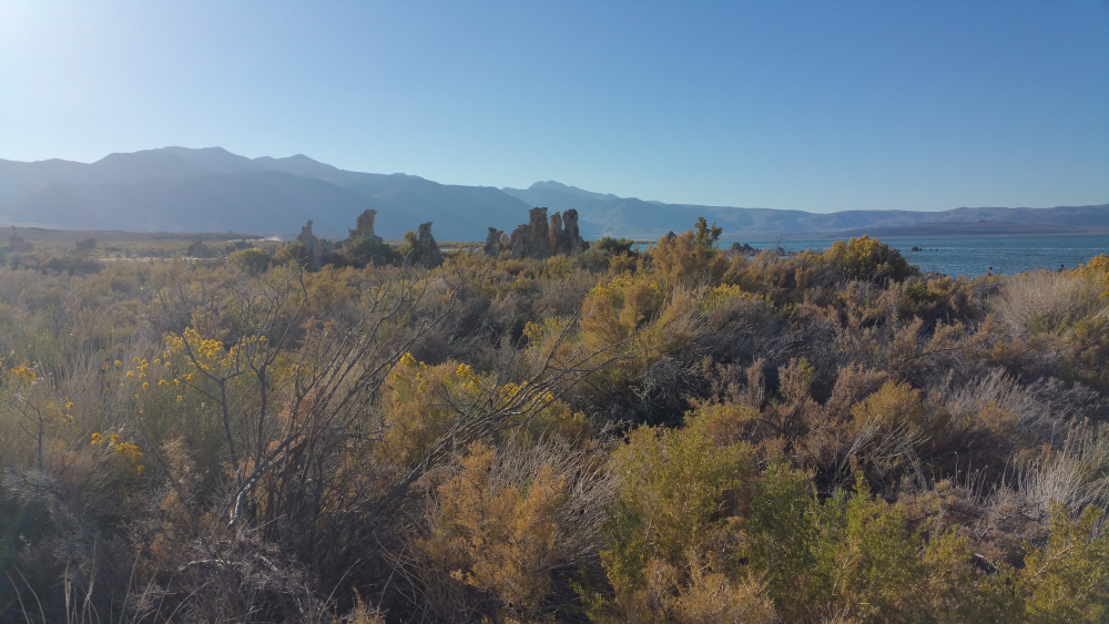 The Mono Lake tufas tower over the current landscape. Behind the tufas is the Sierra Nevada.
The day was waning and we marched east along SR 120 towards the eastern edge of the basin. We made camp in a small clearing on top of a hill off Forest Road 1N06. We made a fire and drank some beer. I had a Mammoth Brewing Company Passion for the Blues IPA brewed with passion fruit that I picked up at the gas station below Tioga Pass and I can still taste it. It was amazing. The sunset was incredible. I had just bought a GoPro two days before the trip. I really wish I worked the time lapse correctly.
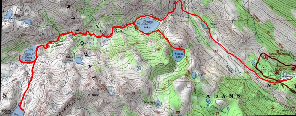 Map of Ansel Adams Wilderness with trails marked in red. Iceberg Lake is in the southwest corner. We did not make the optional trail south of Shadow Lake. Map from beaut-tree.net
Day 2: The Pack Begins
Map of Ansel Adams Wilderness with trails marked in red. Iceberg Lake is in the southwest corner. We did not make the optional trail south of Shadow Lake. Map from beaut-tree.net
Day 2: The Pack Begins
The second morning we picked up our Shadow Creek permits in Mammoth and jumped on a shuttle that dropped us off at the trailhead near Agnew Meadows. We were stoked to go and wasted no time hitting the trail. The first small section of the Shadow Creek Trail (SCT) is along the Pacific Crest Trail, but we were quickly diverted from the PCT and headed into Ansel Adams Wilderness and towards Olaine Lake. We made it to Olaine in what seemed like minutes as we hiked down into the canyon. We stopped for an apple snack. Apples are my favorite hiking food. I will easily fill a bear canister full with Fugis rather than dehydrated meals and eat three per day.
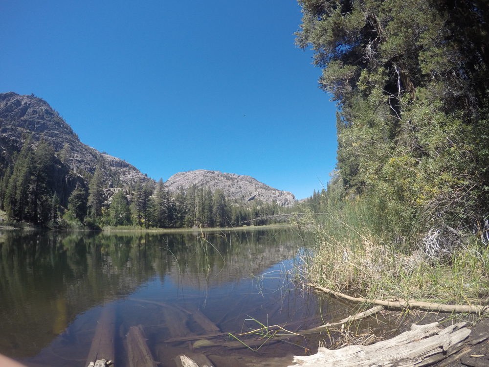 Olaine Lake looking northwestwards . The saddle just to the left of center of the image is where Shadow Creek enters the canyon. We are headed that way to Shadow Lake.
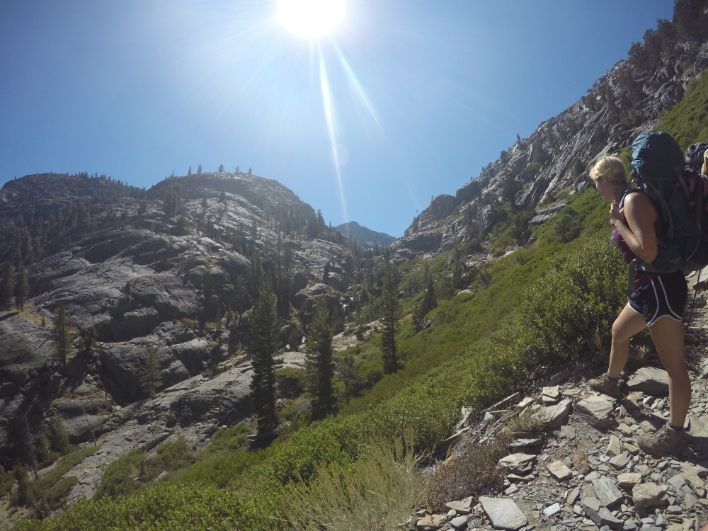
 Hiking up the switchbacks beneath Shadow Lake.
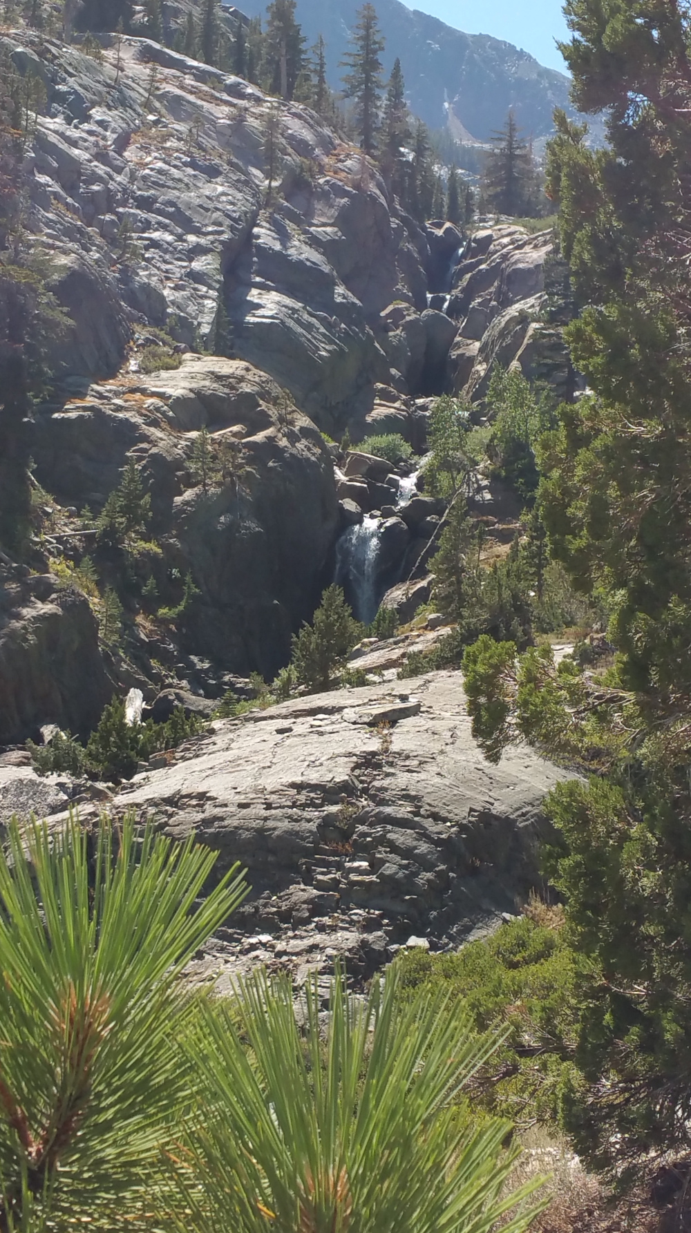
Beyond Olaine, we crossed the stream that cut this canyon. Once across Shadow Creek, daunting switchbacks litter the trail up the side of the opposing canyon wall and a ~220 m elevation gain begins. This is the hardest section of the trail, but what awaits at the top cannot be justly described by words.
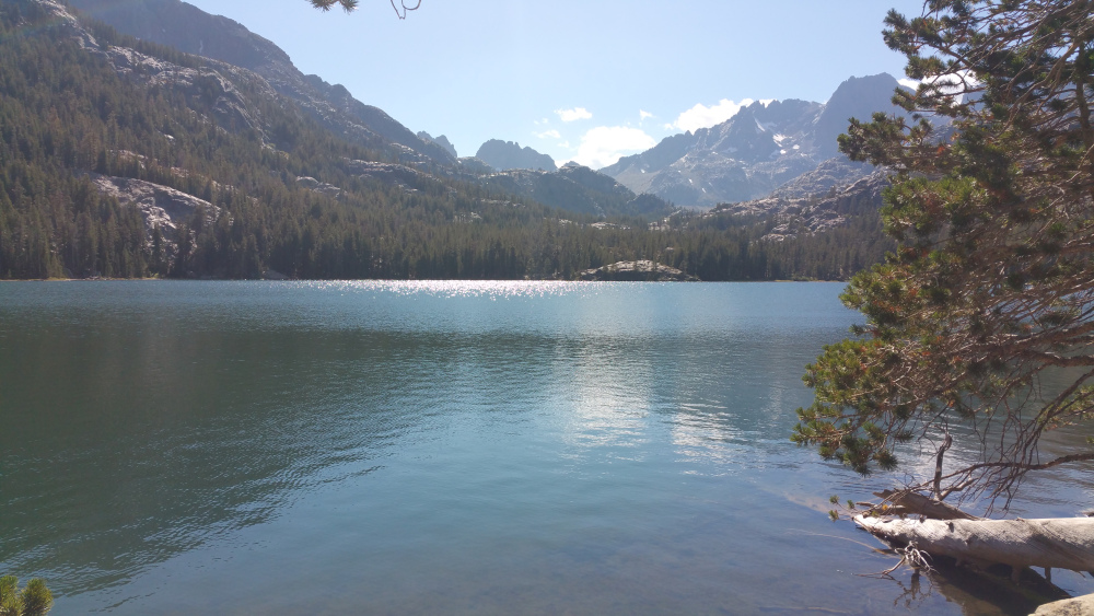
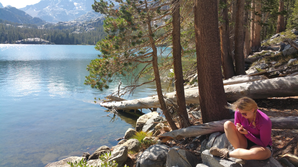 Laura sits on the north shore of Shadow Lake after lunch.
Shadow Lake made a good lunch and nap spot. We may have rested there too long because it was hard to leave and the distance to Lake Ediza seemed much longer than it was.
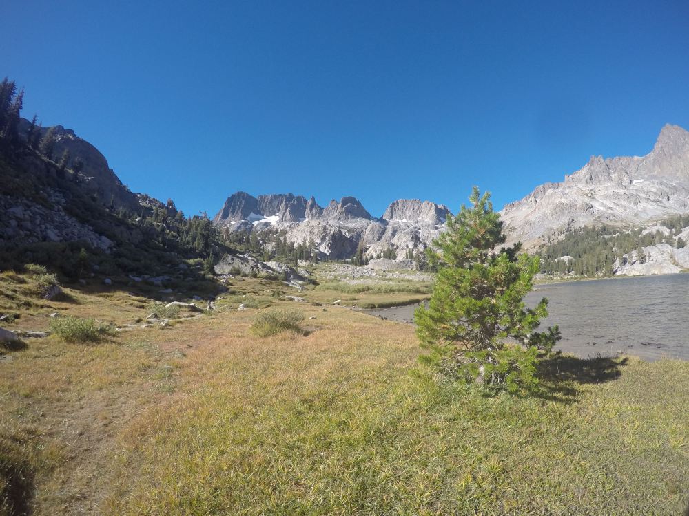
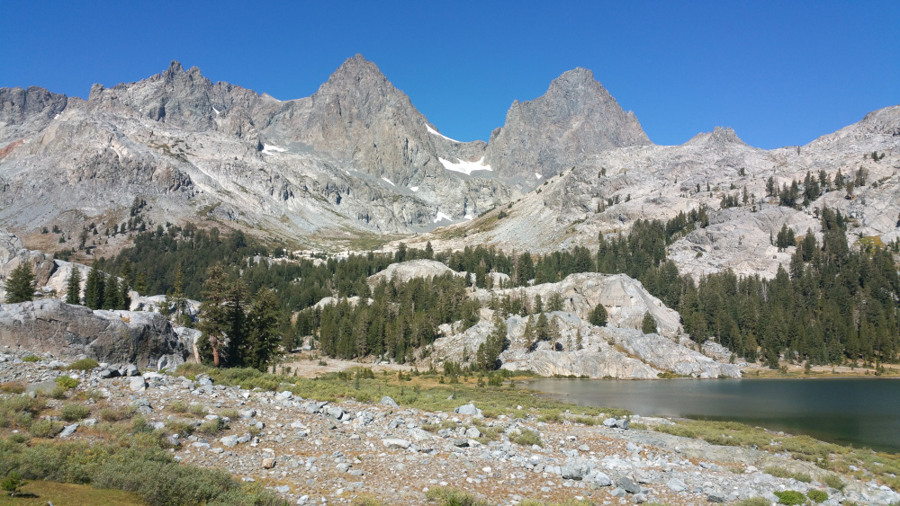 Looking westward near the shore of Lake Ediza. The snow pack between the two peaks looked like a single airborne duck to me; I called him Bill. We camped on the nice big area of grass.
We camped on the west side of Ediza, getting there about half an hour before the sun went over the ridge. We were above 9000′ at this point and the temperature drop after the shadows came was incredible. Fires were not allowed in this area, so we boiled some water, made dinner and cocoa, and wrapped ourselves in our bags. I slept without a tent and woke up once during the night to stargaze. I have never seen so many.
Day 3: Iceberg LakeWhen I planned this trip, I made some ambitious alternate plans just in case we tackled the trail easily. If we had done well, we would have hiked up to Iceberg on Day 2 and then gone north towards Garnet Lake on Day 3. But we took it ‘easy’ on Day 2. On Day 3, Dur, Gatz, and I headed up to Iceberg Lake. It’s a short mile up a 500′ elevation gain to reach Iceberg. Millz and Laura had enough on the first day and felt like relaxing at Ediza instead.
 Looking back on Ediza as we head up to Iceberg Lake.
Iceberg Lake is one of the most amazing places I have ever been. I was going to polar bear the lake, but I made the mistake of putting in a toe instead of just committing my entire body. I don’t regret it. That water was freaking cold! The sun was so warm that we napped after lunch.
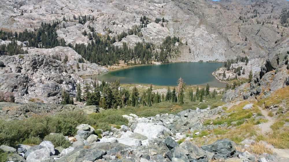
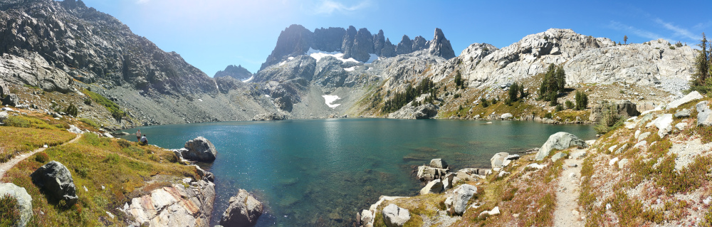 Panoramic of Iceberg Lake. The volcanic rocks above are the Minarets.
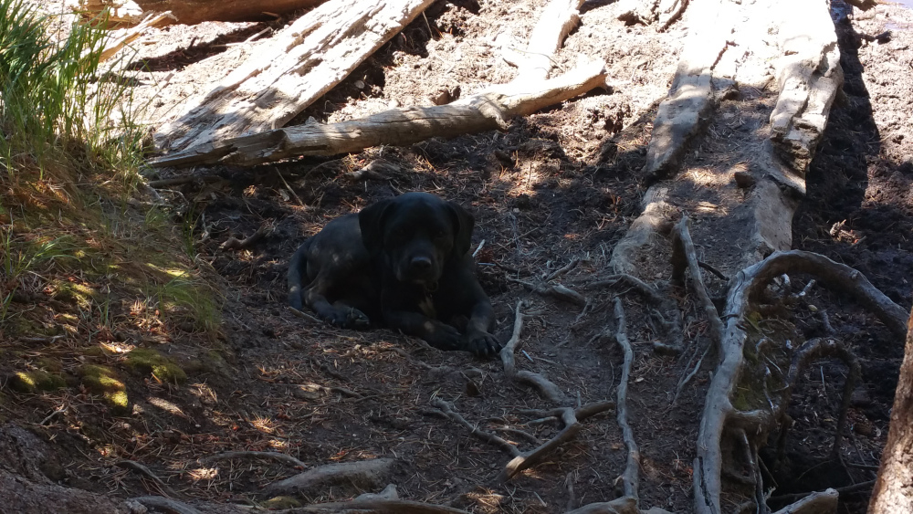
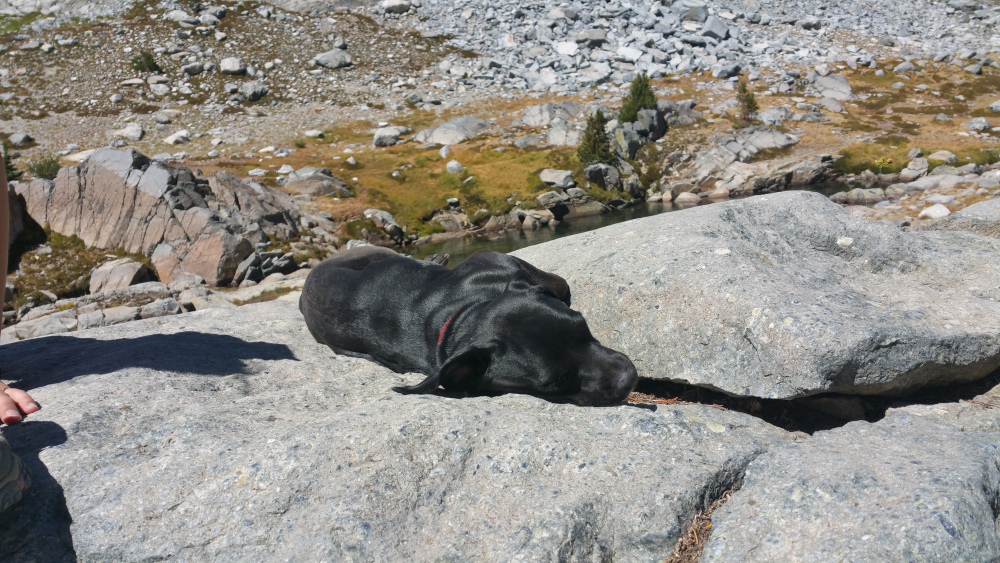 Gaterbee loving the sun naps.
 Headed back to Ediza.
We came back to relax the rest of the day. Millz and Laura had flown some kites and tried their hands at fishing. Millz even caught a fish with my backpacking pole. All of us played a card game, enjoyed the scenery, and bonded over college stories for the rest of the day. That night was much colder.
 Me unsuccessfully trying to take a me and Gatz pic. Millz is playing with the fishing pole in the background.
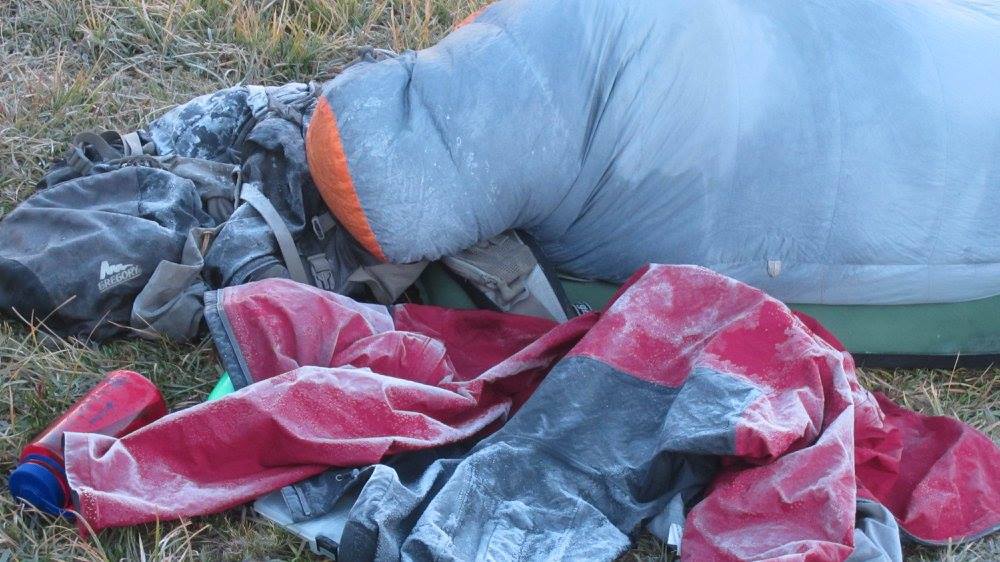 That night was cold. Dur caught a pic if me in my bag all frosted over.
Day 4: The Pack Out
That night was cold. Dur caught a pic if me in my bag all frosted over.
Day 4: The Pack Out
The final day is always sad, but the trail always seems new on the path back. We returned the way we came in, stopped for a beer and food, and drove home.
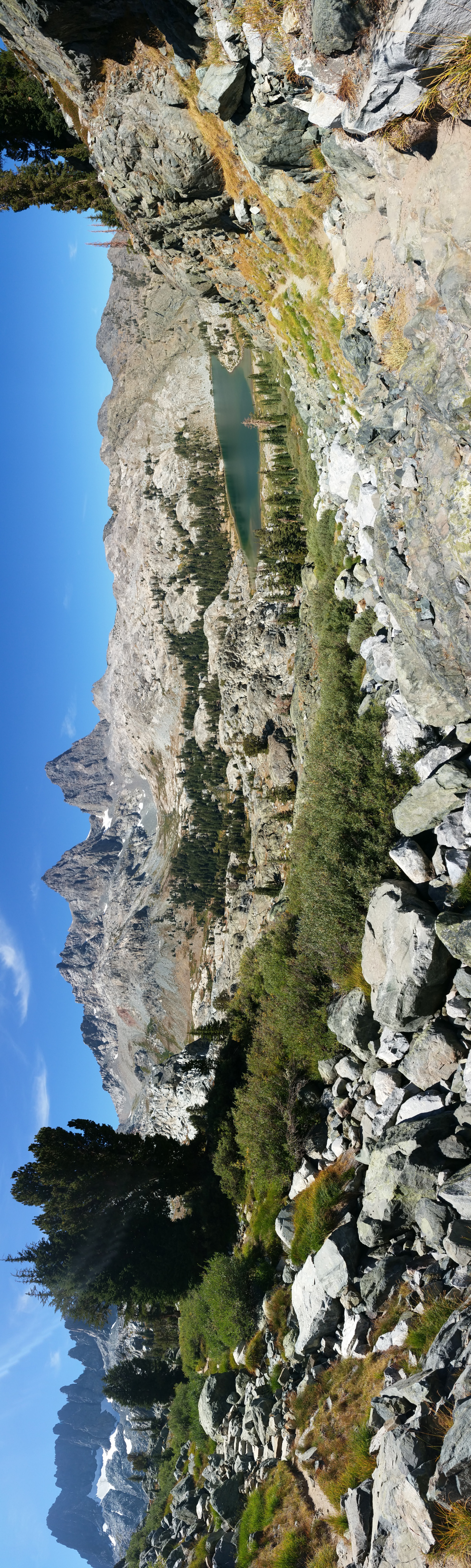
 Looking back at camp and the Minarets.
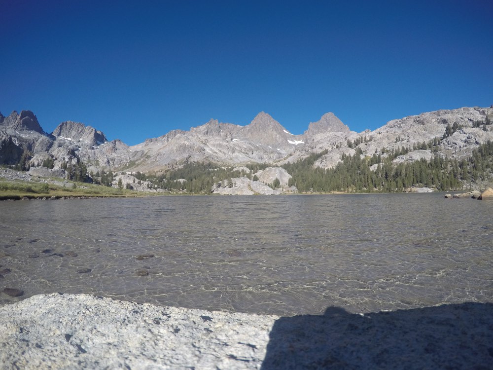 One last goodbye to Bill and the crystal clear waters of Ediza.
 One last view back across Shadow Lake and already becoming nostalgic. This was the last we could see of the Minarets.
 Heading back down the switchbacks towards Olaine.
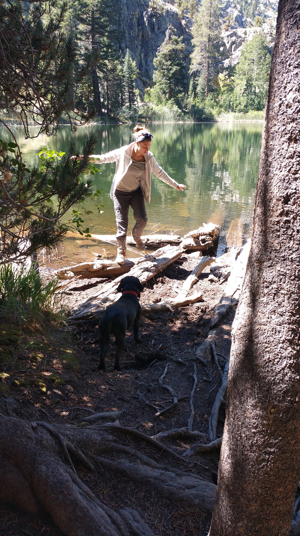 Millz dancing on a log at Olaine, while Gatz wonders how she has the energy. He immediately laid down, disgusted by her spunkiness.
 Gaterang was actually worn out by the end. Here he is Protesting Millz’ dancing.
 We made it back to civilization.
We began talks of the next one – JMT segment 1 (Yosemite Valley to Tuolumne Meadows) July 2018.
Advertisements Share this: