Start: Mile 482.4, Elevation 3902 feet – Campsite at junction of dirt roads
Finish: Mile 417.5, Elevation 3052 feet – Off trail in Hikertown, USA
Total mileage: 35.4
Total elevation: Gain +7489 / Loss -8330 / Net -850
It was hard to get up as I hadn’t gotten enough sleep either last night or the night before, and I was looking forward to my siesta from the first step I took on the trail at 5:30 a.m. My morning was made a bit easier as the first four miles were downhill and trail crews had marked the poison oak that lurched over the trail with pink ribbons. And perhaps more important, my toe was feeling fine, though my calf was a bit tired, presumably from compensating imperceptibly with each footfall.

On the two-mile uphill that started at mile 486, I started seeing caves that were eight- to 10-feet deep and three- to four-feet tall. They were likely old mining caves as the rocks nearby were stained red and black, signs that they might be mineral-rich. Now, the caves served as escape from the heat for hikers. I could see evidence of their inhabitation, including an old food container now filled with markers and a notebook.
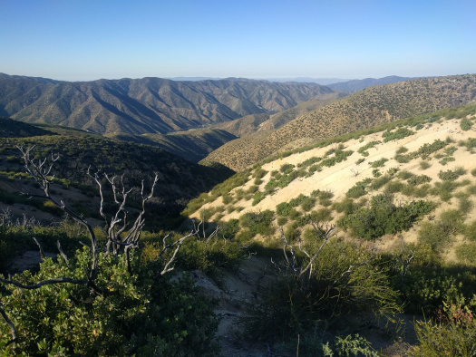
I stopped about mile 487 to grab water from a spring – I knew it’d be about 20 miles with guzzlers as the only water source – then spent the next two miles climbing a ridge. In front of me was a hill lined with pines backed up by the vast, sandy expanse of the Mojave Desert. Behind me were the tall and arid hills that I had passed through, set against the Los Angeles National Forest – lush in comparison to what lay ahead.
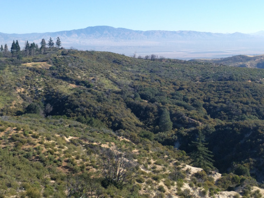
I walked along the ridge for about four miles, passing through denser groves of scrub oak, wild cherry, and Mormon tea bushes. It was a nice sandy path with plentiful of attractive campsites on either side, and I was washed over with a nice, cool breeze. Birds called out from the sides of the trail; it was pleasant being in the midst of such dense vegetation even if it didn’t provide much shade.
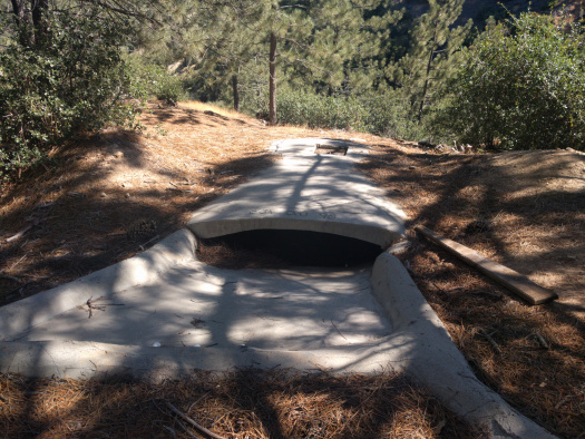
I had my second experience with a guzzler – this one more favorable – about mile 493. Like the last one, I couldn’t access it via the top hatch and had to squeeze in through the narrow lip where the water pools in. Unlike the last one, I didn’t have to squish myself through rebar and the water level was much higher. Overall, it was much easier to collect water here. However, the water was stained yellow – likely from the pine needles floating in it – even after filtering. None of this mattered, though, as I had no choice; there was no better water source for a while.
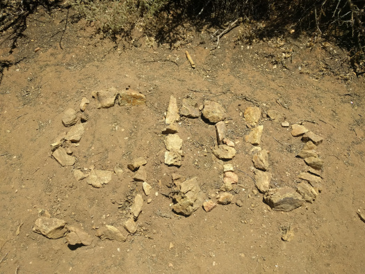
The next 11 miles were brutal, and I ended up with an addled mind and tired feet. I was pursued by a cloud of flies for nearly the entire time and I couldn’t use my hiking poles since I was waving my hands in front of my face the entire time, putting all my weight on my feet. In addition, since I didn’t have my hands free, I couldn’t eat much. There were occasional vistas over the desert valley to the north – with square agricultural plots and roads running off to the horizon – but I was hard-pressed to enjoy them. My only breaks from this unfortunate stretch were mile 500 (where there were rocks spelling out the mileage), a black and white snake soon after that (not a rattlesnake), and a quick self-applied foot massage about 12:30 p.m.
I finally escaped the flies, heat, and fatigue at mile 504 as I hit a ridge and found a tree with solid foliage and a clear area underneath. There was a brisk breeze, so strong that I had to put on my heavy clothing to keep warm. I wolfed down a dehydrated meal, then read and wrote a bit before passing out for 1.5 hours until almost 5 p.m. It was good to catch up on sleep, and I probably could have slept longer, but ants started exploring my pack and sleeping mat.
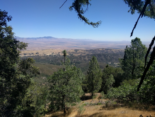
I headed downhill to discover a pair of bike tracks coming up and heading back down – it was likely two people had ascended the ridge and returned the same way while I was sleeping. The flies were still swarming, but there was nice shade and a breeze, which made it easier going. And soon after, about mile 506, I hit a dirt road that left the periodic oak groves. This meant the end of the flies and the introduction of wide views over the Mojave Desert. My fortune was beginning to turn.
I took a brief intermission at mile 508 to grab water from the spring near Horse Camp. The water was cool and refreshing, and I minded neither the steep slope to access the spring nor the slow rate that the spring flowed. However, I mindlessly grabbed a stinging nettle on the banks of the stream and immediately regretted it – the pain shot through my arm for several seconds then settled into a slow but steady burn between my left thumb and index finger. I tried to pick out all the thorns, but the damage was done, and now I just needed to wait for the nettles to run their course.

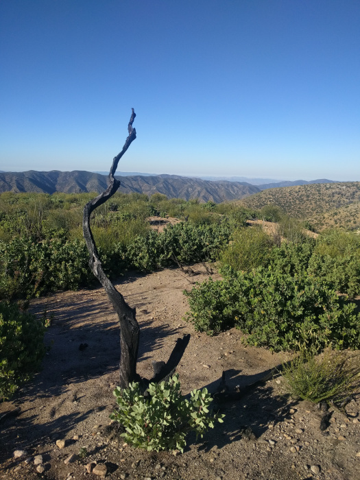
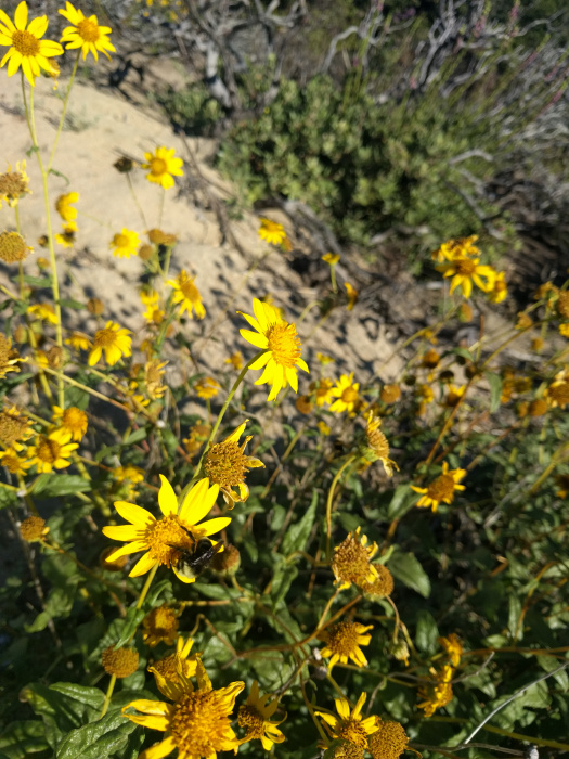
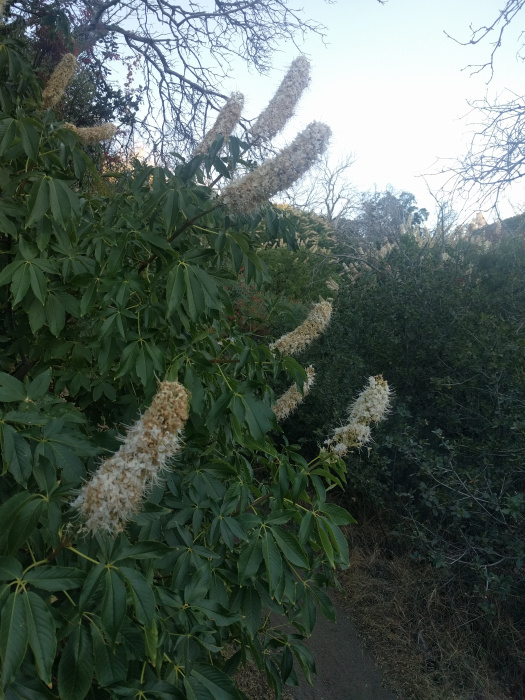
As I descended from Horse Camp, the ecosystem changed and diversified so that I felt like I was going through a botanical garden for the PCT. There were desert plants like yucca and beavertail cacti, there were high-altitude trees like baby pines and junipers, and there were transitional plants like wild cherry and sage brush. There was even a new towering bush with cones of pungent, pleasant white flowers.
Just as the sun set at 8 p.m., I reached mile 511 and the beginning of a six-month stretch of private land. This was the point of no return – I wasn’t allowed to camp here as it was adjacent to hunting land. I took the plunge and went for it, knowing it would be light for another hour. In addition, my alternative – to sleep at mile 511 and wake up at 2 a.m. – was not attractive as it meant that I would be getting into my next water stop at a trail angel’s house at 4 a.m. while it was still dark.
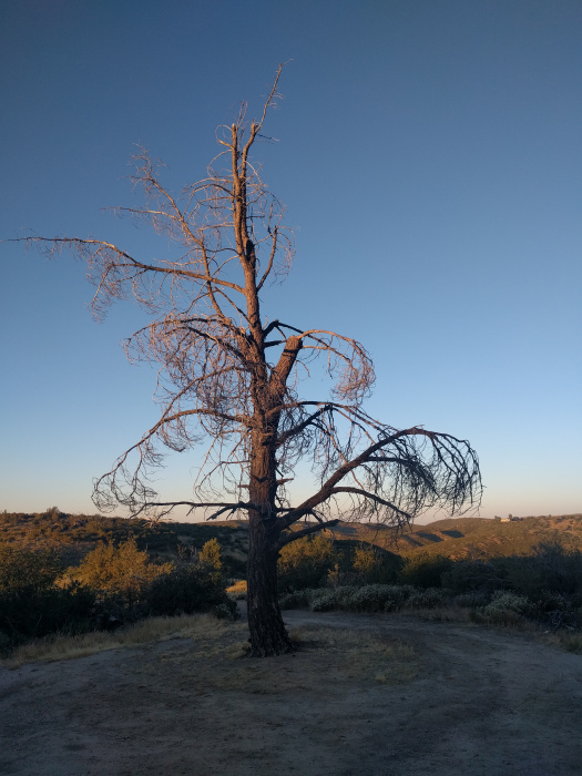
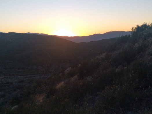
I tried to walk fast but my feet were tired, and the miles ground on. The route wound around the contours of the hills, up and down. As much as I begrudged the mileage and elevation this added, this afforded beautiful views of the valley during sunset. To the west, I could see lines of yellowish sodium vapor lights high up on a hill; the location and impersonality of the lighting made me think it might be some sort of industrial or mining operation. To the east on my right were synchronized flashing red lights marking the wind turbines that I’d wander among tomorrow. Before all that was Highway 138 – lit up 50 meters at a time by the headlights of rushing semis and cars – and a few foothills that looked even more round in the soft light of the setting sun.
Soon it was dark, and my headlamp was dimming as the batteries drained. Rather than rifle through my bag with only a few miles left, I pulled out my phone and used its light. I also played a few podcasts to distract me from my feet. Nonetheless, the last mile – with field mice darting beneath my feet toward burrows on the trail – felt like they took forever.
Eventually I stumbled onto the highway about 10 p.m. and juked a bit east to reach a trail angel’s house. The sign on the chain link fence welcomed me to Hikertown, USA, and as I stood at the entrance reading the guidelines posted on the gate, I heard a voice calling out in the high wind. I walked over to the man, and he greeted me with a fist bump and introduced himself as Ghandi, mayor of Hikertown. Only then did I realize that the large property was ringed with 10-15 small buildings, each made out to look like a place you might find in a frontier town – a saloon, a town jail, a general store. He told me pick any place on the west side (as these were empty) except City Hall, where he slept. He also pointed me toward campers and outbuildings that had showers, chargers, and chairs to relax in.
Tempted as I was to clean myself, I knew I’d be dirty again soon enough, so I grabbed a building right next to City Hall (it was too dark for me to tell what my room was supposed to be) and threw my stuff down. The eight-foot by eight-foot room had a chair, a small table, and a bed – everything I needed. While stuffing my face with handfuls of cashews, I unloaded my bag, threw my sleeping mat and bag on the bed, and fell asleep almost immediately after I lay down.
Advertisements Share this:

